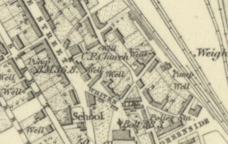
United Secession Church map
Dublin Core
Title
United Secession Church map
Description
Site of the United Presbyterian Church on the 1855 Ordnance Survey map of Fife.
Source
sacredlandscapesoffife
Contributor
amp32@st-andrews.ac.uk
Format
image/png
Type
Still Image
Medium
National Library of Scotland
Europeana
Europeana Type
IMAGE
Still Image Item Type Metadata
DescriptionEN
Site of the United Presbyterian Church on the 1855 Ordnance Survey map of Fife.
Citation
“United Secession Church map,” Virtual Museum, accessed December 14, 2025, https://sacredlandscapes.org/omeka/items/show/629.
Embed
Copy the code below into your web page
