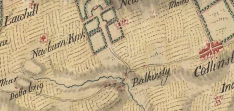
Balchrystie Roy map
Dublin Core
Title
Balchrystie Roy map
Description
Balchrysty and its surroundings on the eighteenth-century Roy Military Survey.
Source
sacredlandscapesoffife
Contributor
amp32@st-andrews.ac.uk
Format
image/png
Type
Still Image
Medium
British Library / National Library of Scotland
Europeana
Europeana Type
IMAGE
Still Image Item Type Metadata
DescriptionEN
Balchrysty and its surroundings on the eighteenth-century Roy Military Survey.
Citation
“Balchrystie Roy map,” Virtual Museum, accessed December 14, 2025, https://sacredlandscapes.org/omeka/items/show/618.
Embed
Copy the code below into your web page
