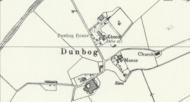
Dunbog Parish Church, Dunbog
Dublin Core
Title
Dunbog Parish Church, Dunbog
Source
sacredlandscapesoffife
Contributor
Natalia Nikitin
Format
image/jpeg
Type
Still Image
Medium
Sites of the nineteenth-century parish church of Dunbog, and the older church in the grounds of Dunbog House which had preceded it – both shown on a 1950s National Grid map produced by the Ordnance Survey. (Source: National Library of Scotland, https://maps.nls.uk/view/188140881).
Europeana
Europeana Type
IMAGE
Collection
Citation
“Dunbog Parish Church, Dunbog,” Virtual Museum, accessed December 14, 2025, https://sacredlandscapes.org/omeka/items/show/535.
Embed
Copy the code below into your web page
